- Nii Kwabena Bonnie Street, Dzorwulu Accra
- info@etyconstructions.com
Call experts
+233 500 865 377
ETY
Survey
Providing the beautiful spaces in the best places.
Quick process
Talk to an expert
+233 500 865 377

Survey
In the dynamic world of construction, success is often contingent upon meticulous planning and informed decision-making. One indispensable tool that plays a pivotal role in this process is the construction survey. Beyond a routine procedure, surveys serve as the compass, guiding project stakeholders through the complexities of the construction landscape.
Surveys are the instrumental notes that harmonize the entire process. From the inception of a project through its execution, surveys provide the clarity and precision needed for success. Embracing surveys as a proactive and integral part of construction planning not only enhances efficiency but also contributes to the overall safety and quality of the built environment. As construction projects evolve, the compass of surveys continues to guide, ensuring that each structure rises with a foundation rooted in knowledge, precision, and informed decision-making.
Survey in Constructions
- Environmental Monitoring
- Infrastructure Development
- Boundary Determination
- Data Collection and Analysis
- Instruments and Technology
- Purpose and Types
Land Surveying
Measuring and mapping the physical features of a land area, including boundaries and elevations.
Aerial Surveying
Using aerial platforms like drones to collect data from above, particularly for large areas.
Construction Surveying
Providing precise measurements and layout information to guide construction activities.
Sampling Techniques
Employing statistical methods to select a representative sample from a larger population for surveys.
Affordable
Cost
Cost
Quality
of Work
of Work
Land Surveying: This type of surveying involves measuring and mapping the Earth’s surface to determine land boundaries, topography, and the location of physical features. Land surveyors play a vital role in property development, construction, and land-use planning.
Construction Surveying: Surveyors in construction ensure that buildings, roads, bridges, and other structures are built according to design specifications. They set out reference points, provide elevation data, and monitor construction progress.
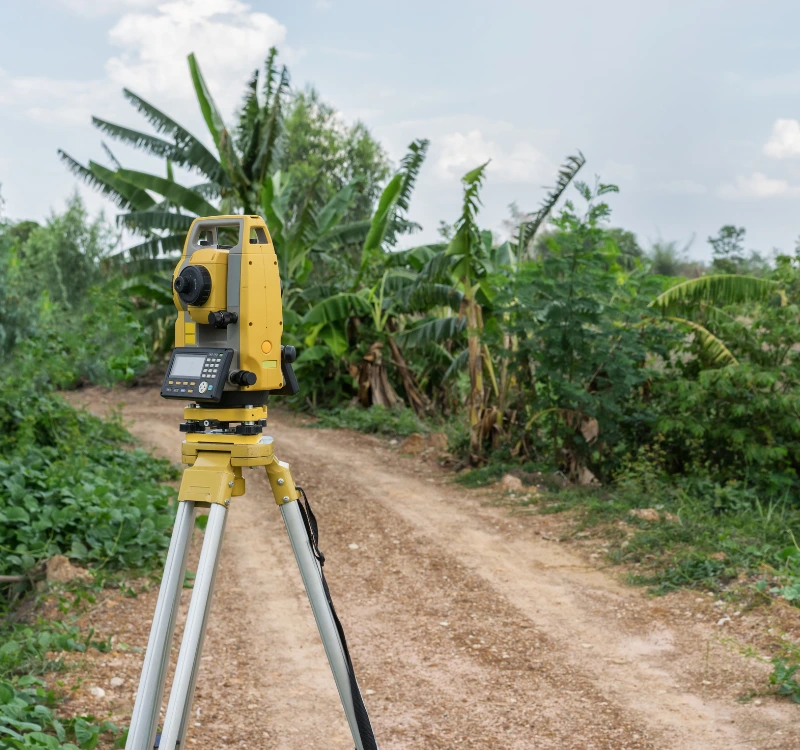
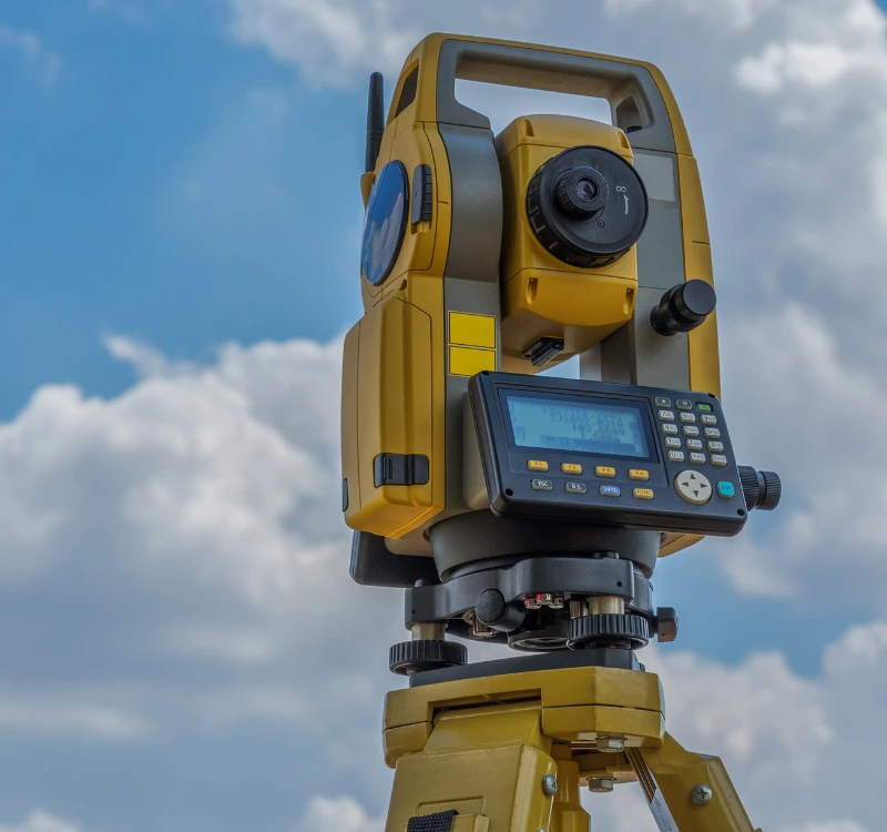
Total Stations: These electronic devices combine the functionality of theodolites and distance meters, allowing surveyors to measure angles and distances with high precision.
Global Positioning System (GPS): GPS technology has revolutionized surveying by providing accurate positioning information using satellite signals. It is particularly useful in geodetic surveys and mapping large areas.
Laser Scanners: These devices use laser beams to create detailed, three-dimensional representations of objects or terrain. They are valuable for capturing complex topography and as-built conditions.
Surveyors collect data through direct measurements on the field or by using remote sensing technologies. This data is then processed and analyzed to create maps, charts, and reports.
Let’s build your next project together
Contact with us
Have questions? Feel free to write us
Your journey towards success begins with a simple step—contact us now, and let's shape the future together!
Call expert
+233 500 865 377
info@etyconstructions.com
Visit office
Nii Kwabena Bonnie Street, Dzorwulu Accra
